Port Trogir
Trogir is situated in the center of Dalmatia, on the eastern coastline of Adriatic sea. The heart of Trogir is small islet laying between the gentle hills on the mainland and the coast of the Island of Ciovo. Small town of 12000 citizens is the center of Trogir micro - region which covers about 250km2.
Trogir Riviera is assemble of 20 islands, islets, small counties and villages. Find out more about the locations in Trogir area: Arbanija, Drvenik, Marina, Okrug Gornji and Donji, Seget, Sevid, Slatine, Trogir Center, Vinisce, Vranjica.
The bridge joining Island of Ciovo to the small islet of Trogir no longer opens, and with air draught of more than 3m it is no longer possible to take a shortcut between Kastela Bay and Trogir Bay. The best approach to Trogir is from the W, and the best shelter is to the West of the bridge. The main land shore North of Rt Cubrijan is shallow as it is in area South of Rt Cubrijan itself. Keep to the center of the channel up to Trogir and note there is a unlit buoy to the North of the channel, West of the castle. Channel has depth of 11m at the center and 4m near the bridge. There can be strong current flowing under the bridge, and it is normally West flowing.
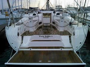
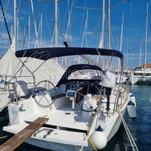
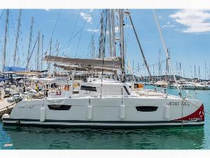
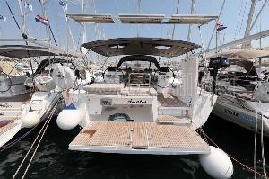
Available Boats in and around Trogir


Facilities
Water, electricity, showers, restaurant, bar, shop at the ACI marina as well as work-shop and service. There is a slipway and 5 ton crane.
The town has shops, fruit and vegetable market place, a baker, butcher, fish market, Bank and Post office, Medical and Pharmacy center. Bus and Taxi services, car and scooter hire. Airport Split 3km to the West. Tourist Info, restaurants, bars/cafe.