Destinationen > Kroatien > Ston & Mali Ston
Ston & Mali Ston
Between Ston and Mali Ston runs Europe‘s longest wall joining the saltworks with all the oysters ...
Some people say that the Stonski Canal is not easy to navigate, since the water level varies up to 1 metre, while the depth of the narrow channel is only 2.5 metres. But at its end, things await the seafarer that make all the exactitude in navigation well worth the trouble. Approaching Ston, you can see its fortified wall from afar, the longest of its kind in Europe. When it was built in 1500, it measured nearly 5 km. After its renovation, a part can still be walked upon today. The wall meant control of access to the Pelješac peninsula, protecting one of the best sources of income in the Ragusa Republic (today‘s Dubrovnik) and protecting it well — the sea salt of Ston. Salt has been gathered here since antiquity, and even today towards the season‘s end, you can help out with the salt harvest. At the other end of the wall, at Malo Ston, oysters are cultivated in the shallow, clean water. In restaurants in both towns these are served in rich variety. Reason enough to set sail for Ston. In the broad part of the canal, at Broce, you can anchor well. From here it is only about 3 km by road to Ston.
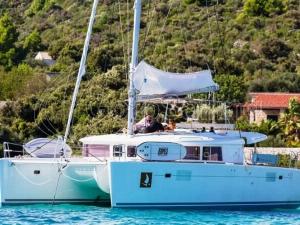
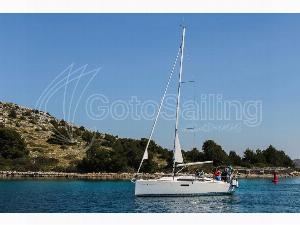
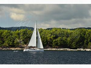
Verfügbare Boote in und um Ploče
N42°50'48.84" E17°42'10.80"
In Kooperation mit Bayexpress
![]()
Seit mehr als 10 Jahren ist der Bayexpress ein zuverlässiger Führer für Segler in der Türkei, den ostgriechischen Inseln des Dodekanes oder in Kroatien. In der neuen Version der App für die kroatische Küste sind neben den interessantesten Restaurants entlang der Küste und auf den Inseln erstmals die Bojenfelder Kroatiens auf der Karte, allen Fährhäfen und Tankstellen markiert.
Die mobile Anwendung Bayexpress ist ab sofort verfügbar!
Türkei & Griechenland/Dodakanesisch
Kroatien